Talkeetna reunion and ill-advised adventure
- Tyson
- Jul 4, 2019
- 8 min read

Rubbing the sleep from my still tired eyes, I shut off my alarm and debated closing my eyes for just a few more minutes. Knowing that trap can end badly, I climb from my bed and into my pants. Rolling into town, a few people are stirring in the early morning hours. The town wakes around me as I walk the small downtown section. I note the ranger station, the breakfast place I am to meet Lisa, a local river rafting guide service and keep walking to scope out the riverbank. Dropping a gps way point, I've identified my take out for my upcoming paddle. Thankfully its right near the local dirt airstrip, which will serve as a nice landmark for me on my approach from the river, as it creates a clear break in the treeline on the bank.
I have to admit, my ulterior motive for my long night into Talkeetna is a local river. I recently read there is a train that runs north that allows riders to jump off in many locations. One of them gets you within 10 miles of "clear creek" which contains some wonderful sounding whitewater. It spills into the Talkeetna river, connecting to the Susitna, which will take me back to town. I should have just enough time to see Lisa, sort out the train and ride up to the area called Curry, then hike off on an improvised overland path to the southeast, camp, then run the river back the next day. Immediately after returning I'll haul ass back east, meet up with Carson to set up the next trip. But first, breakfast.
It really is wonderful to see Lisa, even if the context seems a bit weird at first. She has just completed a cross country road trip in a huge RV with her two friends, who also join us for breakfast. They've taken the RV from Florida all the way up here to sell it. Evidently the prices up here are much better. Lisa's daughter also lives in Talkeetna, so the trip served a few purposes. We trade stories from each of our journeys and laugh quite a bit. The conversation and company matched the venue well. "The roadhouse" evidently was exactly that in the past- a roadhouse for weary travelers, offering beds, laundry, supplies and food. The company did wonders for my soul and the hearty meal did wonders for my belly. For some reason, food just tastes better when someone else cooks it.
After the comfortable company and the obligatory "momming" about the risks I'm taking while out here, Lisa picks up my tab and wraps me in another hug. Quick goodbyes are said, and I make a mental note to send her a message from my InReach GPS that i'm ok once I reach camp tonight. With the train's departure getting closer, I shift gears into trip prep mode. The ranger station has little to offer in the way of information or maps. The Raft guiding company doesn't know much about Clear creek or anyone who's run it. They caution me that the rivers are all high right now due to the unseasonable heat causing increased snowmelt. Noted. Unfortunately there is no active gauge on this creek to grab solid data. I find a souvenir shop with a great map selection and a knowledgeable local. She's got the map I need and it enables me to get my bearings on my digital maps by naming a few of the features I needed identified. I buy the map even though it is paper. There's something soothing to my soul about a physical map in my hands, as handy as digital is.

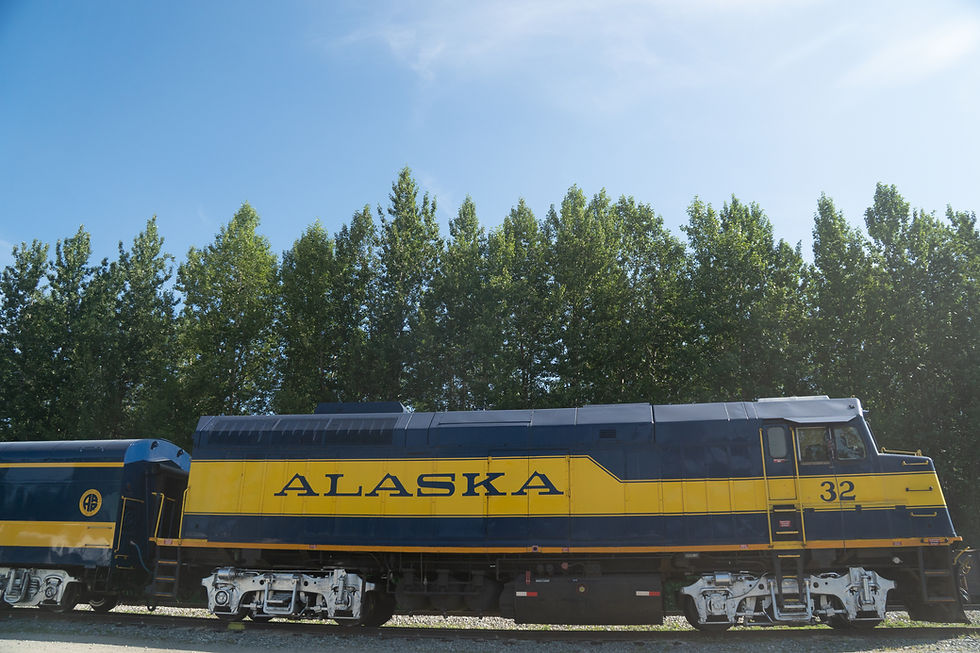
I'm packed and have as good of an idea about the area as I think I'm able. Onto the train station to pick up my ticket and figure out the details of gear load up and how to signal a stop, not to mention where I can park the van that doesn't arise suspicion and isn't too far from the take out spot I've identified. This all ends up taking very little time and I've got about an hour to kill before the train arrives. For some reason this just makes me feel as though I've forgotten something, or perhaps I should reconsider this plan. Traipsing off into the bush alone to run a river that few seem to have run, with little concrete information. Alone. I console myself with the idea that at this train stop, I can always just head west instead of east and hit the Susitna for an easy float trip back if I get cold feet.
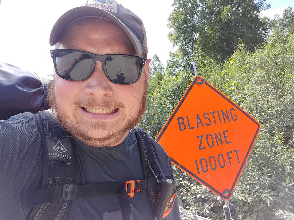
Once loaded up on the train, I've got no second thoughts. Its all excitement for the original plan. After a few impressive views of Denali, the 22 rail miles go quickly. Geared up, I disembark the train along with a group on a guided float trip of the "Big Su". Everyone looks at me a bit puzzled as I cross the tracks and head away from the river they are headed to.

The little bit of info I've got is to link a gravel road that leads to a quarry to a smaller ATV path that will take me much of the way out and up to a ridge that should give me a decent lay of the land. From there I should be able to pick out a path over the tundra to hit the valley containing Clear creek and make my way down to the water. There's a closer creek that flows into Clear creek, called Bacon creek. There's some locals on Bacon that don't want people on their land even just to put in on the river there. So, I'm tentatively aiming downstream from that junction.
The plan works well for the first half or more of the day. The temp is amazingly high for the area, and I'm soaked in sweat, but smiling. My load is heavier than I'm used to, with the addition of my boating gear, adding to the sweating. I'm stopping often on the sustained climbs, but I'm making pretty quick progress. The ATV route is rough but easily follows. There's a lone, timid caribou that keeps walking down the same path and pausing just long enough for us to see each other then scurrying along.
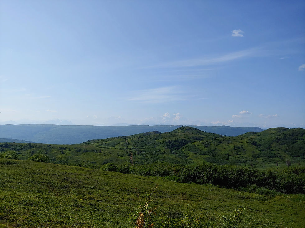
Once I gain the ridge, I'm faced with deciding when to leave the path and swing more south-southeast. My digital map is helpful here for the sake of orienteering. Crossing the tundra is slower going terrain than the ATV route, but the elevation change is less, aside from the small depressions/gullies I have to cross. Looking at how much ground I have to cover, I'm a little concerned, as it is already late in the day. The train didn't drop me until after 2 pm. But, with unlimited day light, I'll be fine.
After a few more miles, I start encountering thicker and thicker vegetation when I drop from one ridge to another. Where water collects into little pools and streams, I'm forced to push through thickets of Alder. Eventually I get to a significant descent to another set of ridges. Following the land's contours, I end up in a increasingly steep drop, then into a creek. Quickly I learn that walking in the water, despite the wet feet, gives me the path of least resistance from the alder thickets. The descent is taxing and a bit sketchy, as the footing is slippery and obscured by the foliage underfoot. Calling out frequently to warn the local bears of my presence, I start to feel how tiring this really is. My body is telling me to hold onto the breath I'm using to call out. Whew.

Finally, the descent is over, but this lower set of ridges proves more alder choked than the one above. I try to link sections of open tundra, but it gets harder and harder. Hot, tired and hungry I check my maps, only to be discouraged at how slowly i'm progressing. Well past the point of no return, I consider my options and push on. My pack is large, with paddles reaching out to snag branches. I can bend the branches out of my way and wade through, face slapped by leaves and smaller branches. Occasionally Devil's thumb (club?) pops up with its bristling spikes to remind me to choose my path and handholds carefully. Clouds of flies have been relentless since dropping to this lower ridge system. If my hands are on the vegetation, the flies are in my face and eyes.
I hit another spot of tundra and sit down heavily to catch my breath, fanning away the flies. The land really seems to have turned from tundra with patches of thickets into dense alder with patches of tundra. I've got to do something different. This is terrible. Looking at the map, I design a more direct route to what appears to be the start of Bacon creek. I'll deal with angry locals if I have to, but the sooner I can get down to water, the sooner I'm out of this crap.
The bushwack down to the creek is steep, scarily so in some places, and very thick. Halfway down, i'm more or less sliding down, using the trees to stop and slow my descent. It is no less terrible, but in my mind it is at least it is finite. I'm getting closer to the water. I can hear it. And finally, I'm there.
This creek is tiny. Crap. This is just some little feeder creek that leads into Bacon. Now that I'm down in the little valley of this unnamed creek, the only forward progression is in the water. Ankle deep in cold flowing water, with overhanging branches is still better than squeezing through dense, tangled alder. Suddenly I'm aware how damn thirsty I've been. I drop my pack to fill my water bottle, only to realize some branch along the way has pulled it from my side pouch. Damn. I liked that bottle. I fill a smaller plastic water pouch and filter directly from that into my mouth. God, I should have stopped for water hours ago.
Bushwacking down the center of this little creek I realize my prescription sunglasses were ripped off my head at some point too. Dammit! I stopped taking pictures/video a long time ago, as my spirits dropped. It felt like I was documenting my own failures and maybe even my demise. Why am I out here? Alone! So stupid. Instead of creating a record of my last moments, I focused on getting out. And that's exactly what it felt like. Getting out. I fought my way down the creek to a larger one, meaning a bit wider and easier to travel. This must be Bacon creek. Finally. Its too small to float on, at least at this point. I read that the first couple miles are shallower anyway, but that Bacon may not have enough water later in the season. All i need now is just some flat spot. Its after 10 pm. Just gotta find a spot to sleep.
Eventually, I do. Its not much more than a pile of flat river smoothed stones about the size of my tent's footprint. Perfect. Ill take it. I set up camp quickly, grab a bite to eat and bring my bear proof food bag across the river and secure it to a tree. Holy crap, what a long day. Despite my body's exhaustion, my mind is still going. Crunching numbers on when I can expect to get out, if I can still meet up with Carson. Then tumbling over worse possibilities. What if there isn't enough water to raft at all? hiking the 20 miles out will take another day at least. I've got the back up food for that, I can make that work. Man, I don't want to though. I've got my InReach, I can get word out and keep people informed... or call for help if I really need it. I'll be ok. I'm sure I'll be fine. I can handle this.
Comments